

NASA scientists are deploying an integrated strategy involving airborne campaigns and advanced satellite observations to intensely monitor Arctic sea ice, aiming to enhance global climate understanding and refine environmental forecasting.
WASHINGTON, United States – NASA scientists are deploying an integrated strategy involving airborne campaigns and advanced satellite observations to intensely monitor Arctic sea ice, aiming to enhance global climate understanding. This comprehensive, multi-platform approach provides high-resolution data critical for refining climate models and forecasting environmental changes.

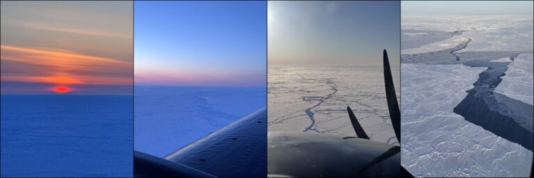
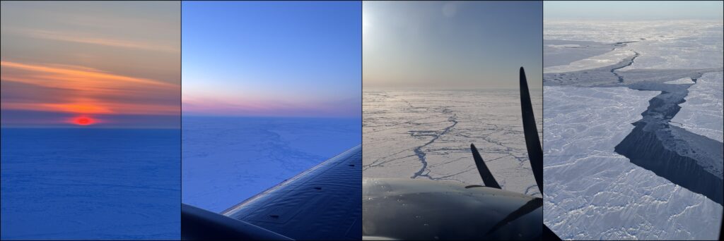
For over a decade, NASA has utilized both aerial and orbital assets to track the rapidly changing Arctic environment. The airborne component, primarily through missions like Operation IceBridge, conducted annual flights over the Arctic from 2009 to 2019. These missions gathered crucial data on ice thickness and elevation, serving as a critical bridge between two satellite generations: the original ICESat and its successor, ICESat-2. The specialized aircraft, equipped with a suite of instruments including radars, gravimeters, and lidars, mapped vast expanses of ice at resolutions unattainable from space alone.
The ICESat-2 satellite, launched in 2018, represents the space-based element of this monitoring effort. Orbiting Earth at an altitude of approximately 496 kilometers, ICESat-2 employs its Advanced Topographic Laser Altimeter System (ATLAS) to measure the precise height of ice sheets, glaciers, and sea ice. Its advanced technology allows scientists to detect changes in ice thickness down to fractions of an inch, offering unprecedented detail on the volume and extent of Arctic sea ice. These measurements are vital for understanding the impact of warming temperatures on polar ice caps, a key indicator of climate change NASA ICESat-2 Mission Overview.
Data from these combined efforts helps scientists track sea ice extent, thickness, and movement. This information is integral to understanding global sea-level rise projections, oceanic circulation patterns, and regional weather systems. The comprehensive dataset allows researchers to validate climate models and improve predictions for future environmental scenarios, including potential impacts on global shipping routes, energy infrastructure, and coastal communities. The continuity of these observations is paramount for identifying long-term trends against natural variability.
The sustained observation of Arctic sea ice by NASA missions directly informs global climate policy and economic forecasts. Diminishing sea ice opens new shipping lanes, impacting international trade, maritime logistics, and geopolitical dynamics in the Arctic region. However, it also accelerates global warming by reducing the Earth’s albedo, or reflectivity, leading to increased absorption of solar radiation and further warming feedbacks.
Financial markets react to long-term climate projections, with implications for sectors such as insurance, agriculture, and energy. Accurate data on Arctic ice melt influences investment decisions in renewable energy infrastructure, resource extraction in newly accessible areas, and adaptation strategies for vulnerable coastal assets. The scientific insights from these missions are foundational for assessing the economic risks and opportunities presented by a rapidly changing Arctic.
Furthermore, the data supports international research collaborations and informs critical reports from bodies like the Intergovernmental Panel on Climate Change (IPCC). This global perspective underscores the interconnectedness of polar changes with broader planetary systems, affecting everything from ocean currents and atmospheric conditions to global food security and commodity prices. These observations are essential for developing informed responses to climate challenges.

Written by
Tumisang Bogwasi, Founder & CEO of Brimco. 2X Award-Winning Entrepreneur. It all started with a popsicle stand.