


NASA introduced the Overlap Zoo initiative to map cosmic dust distribution, mitigating operational risks for commercial lunar infrastructure and satellite hardware.
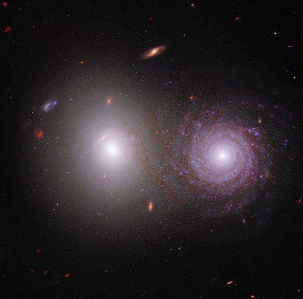
Washington, United States – NASA has launched the Overlap Zoo, a citizen science initiative to identify and map cosmic dust particles within the solar system. The project uses high-resolution imagery from space-based telescopes to detect anomalies that automated algorithms fail to categorize. By leveraging a global network of volunteers, the agency seeks to refine debris models affecting spacecraft integrity and lunar-orbit operations.

Micro cosmic dust particles traveling at high velocities pose risks to satellite hardware and deep-space spacecraft. These particles degrade solar arrays and cause structural damage to optical sensors during long-duration missions. Current tracking systems focus on larger objects, leaving the distribution of finer dust unmapped. The Overlap Zoo uses human perception to identify light patterns indicating dense dust clouds.
The project utilizes data from the James Webb Space Telescope and other infrared observatories. Volunteers review images to flag light behavior deviating from known models. This manual verification provides training sets for machine learning models to understand material density and trajectory.
Data from the Overlap Zoo impacts the commercialization of the lunar orbit. As private aerospace firms develop lunar infrastructure, understanding the debris environment is vital for risk assessment and insurance modeling. Accurate dust density maps allow engineers to optimize spacecraft shielding, potentially reducing weight and mission costs.
The initiative serves as a blueprint for government agencies managing massive datasets from modern telescopes. By outsourcing initial data classification to the public, NASA reduces data processing costs while fostering global interest in aerospace research.

Written by
Tumisang Bogwasi, Founder & CEO of Brimco. 2X Award-Winning Entrepreneur. It all started with a popsicle stand.


